Choose the memories
Pick one trip from the geotagged photos already on your iPhone.


 Evertrail
Photo → Map → Story
Evertrail turns geotagged photos into a map story—then gives you the tools to make the route honest, personal, and shareable.
The journey exists already
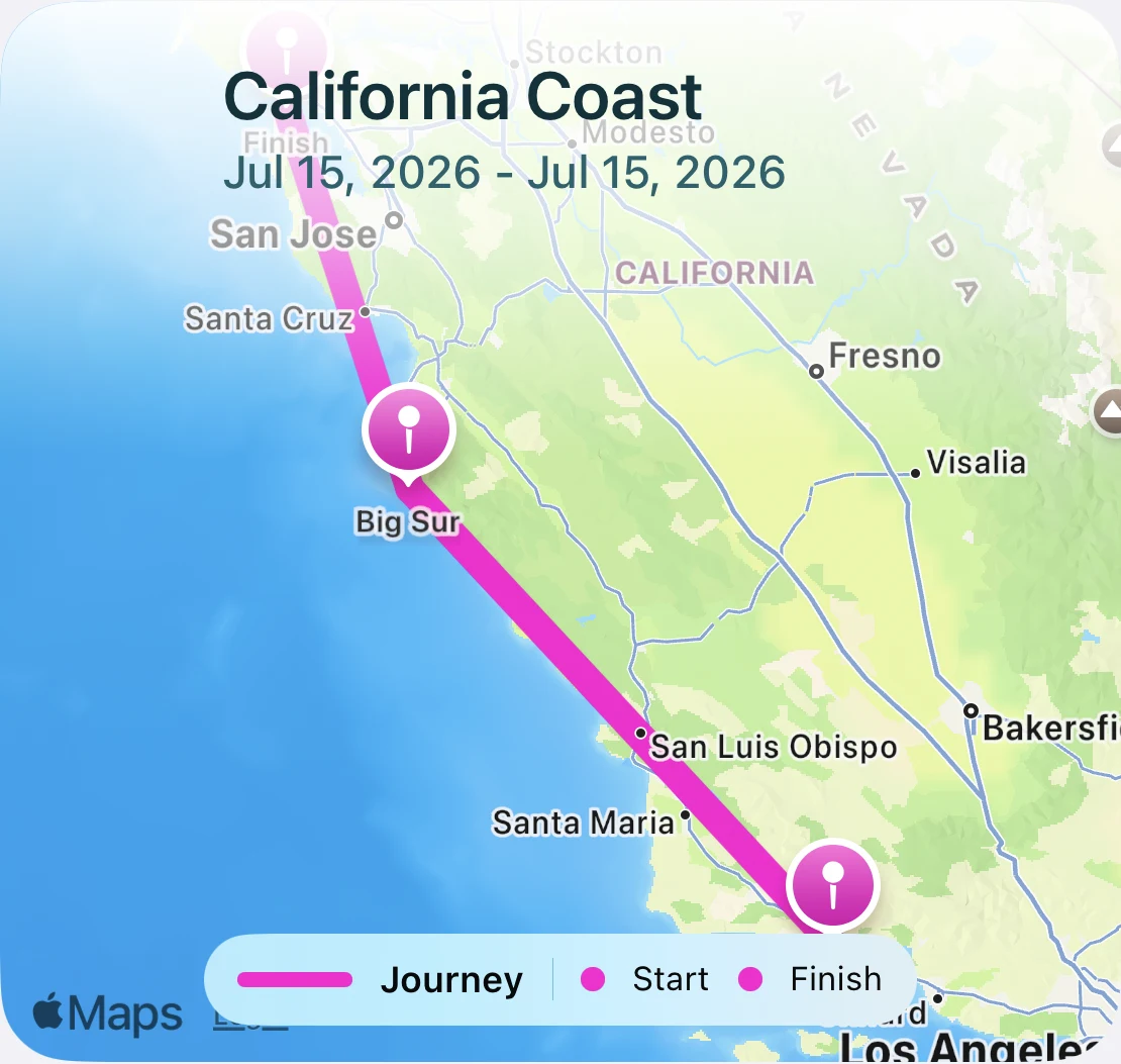
Your photos already know where you went and when. Evertrail reads that quiet trail of places and turns it into a coherent journey you can review, refine, and keep.
No advance setup / No account required / No false precision
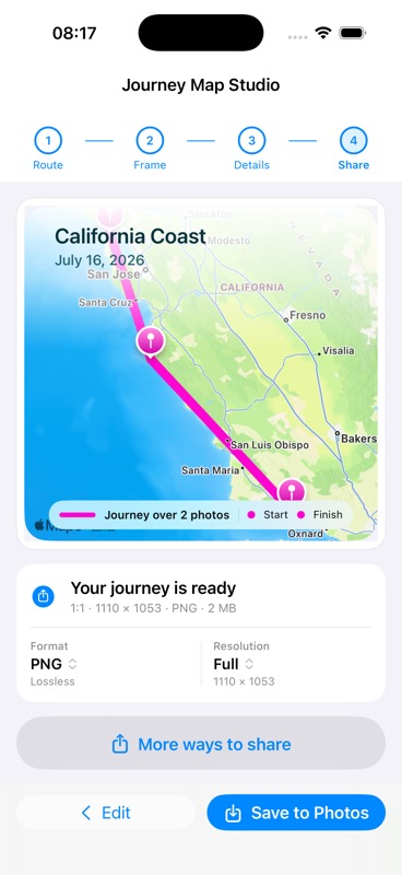
Start from the camera roll, shape only what needs attention, then export a map recap built from the real trip.
Pick one trip from the geotagged photos already on your iPhone.
Evertrail finds the places and builds the first route from the evidence in your photos.
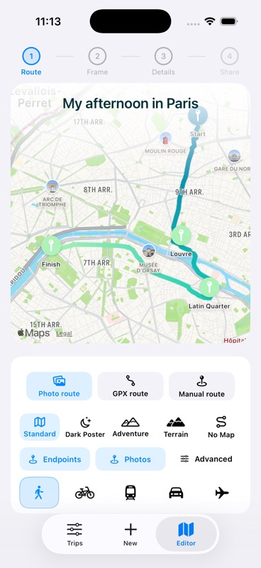
Choose the route source, style the map, add the details, and export a still or animation.
Beautiful, without pretending
Some trips leave a recorded track. Others leave only a trail of photos. Evertrail shows the difference, so you decide what the finished story should say.
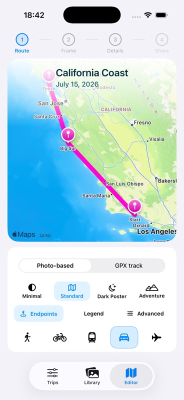
Built from the places and times attached to your selected photos.
Use a GPX or available track when the trip has one.
Show, adjust, or hide anything that needs more context.
The finish line is a map story that belongs in Photos, Messages, Stories, a family chat, or your own archive.
A real map, real route drawing, and your trip in motion—ready to save or share.
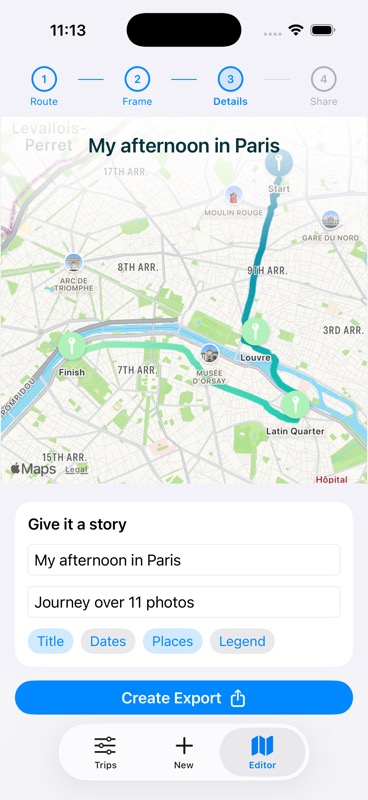
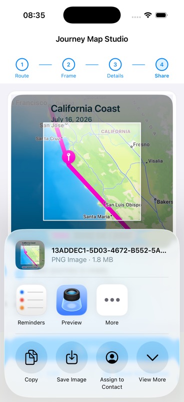
Journey building and export happen on your device. Evertrail doesn’t require an account to turn your photos into a map story.
Read the privacy summaryYour selected photos become a journey locally.
Route files are useful when you have them—not required.
Create and export without creating another profile.
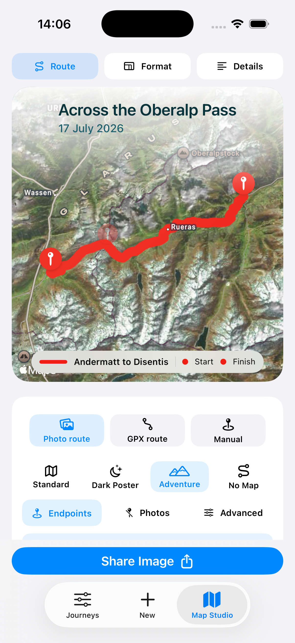
“The whole crossing is clear at a glance.”
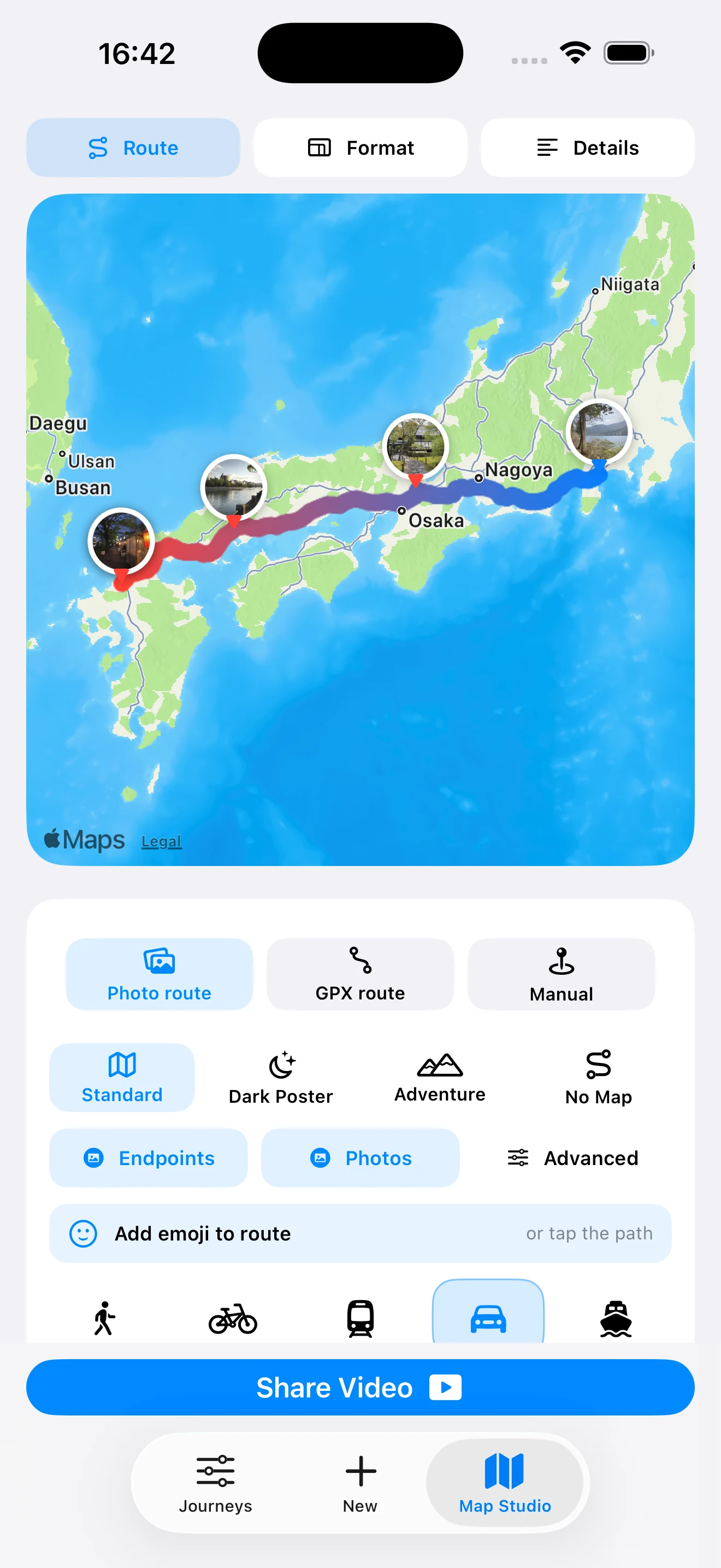
“I can relive the whole trip through my photos.”
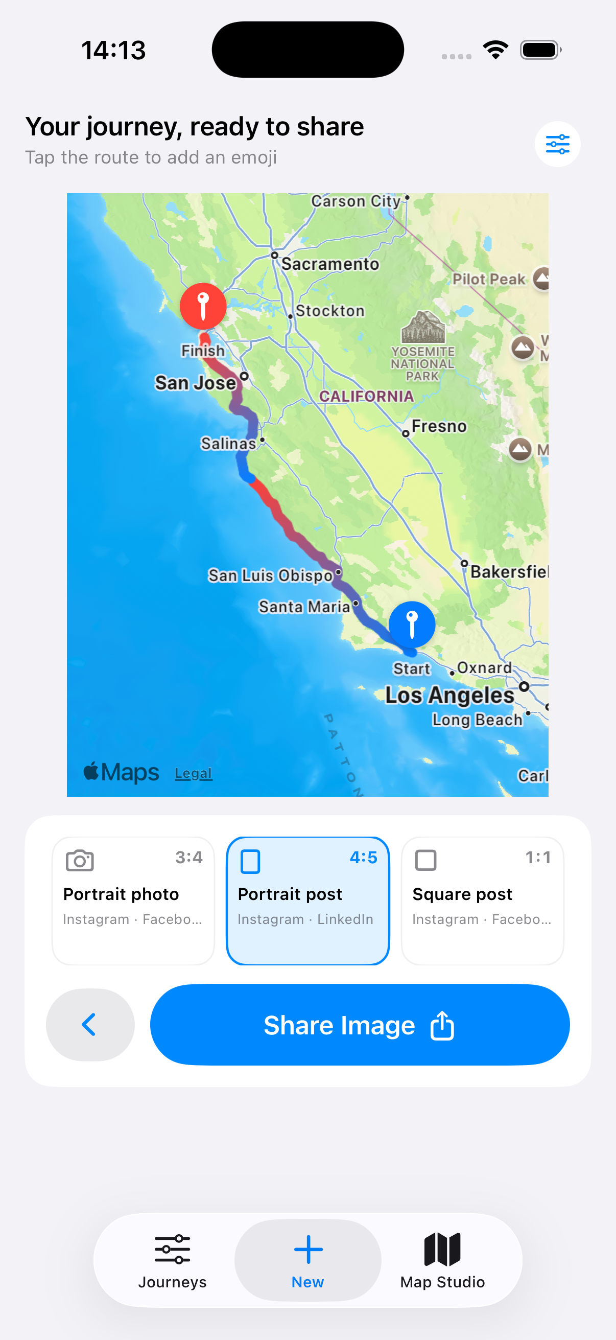
“The crop is right before I tap Share.”
Evertrail is made for iPhone. Turn the camera roll from your next trip into a map story worth keeping.
Available on the App Store / Route 01